


- Vancouver Island (60)
- Central Vancouver Island (20)
- North Vancouver Island (17)
- South Vancouver Island (12)
- Southern Gulf Islands (11)
- Lower Mainland (35)
- Sunshine Coast Parks (10)
- Sea-to-Sky (14)
- Greater Vancouver (3)
- Fraser Valley (8)
- Okanagan (28)
- North Okanagan (6)
- Manning/Similkameen (6)
- South/Central Okanagan (9)
- Boundary Region (7)
- Kootenay (31)
- East Kootenay South (6)
- West Kootenay North (6)
- West Kootenay South (12)
- East Kootenay North (7)
- Thompson (30)
- Kamloops (7)
- Thompson River and Shuswap (8)
- Merritt (7)
- Wells Gray (8)
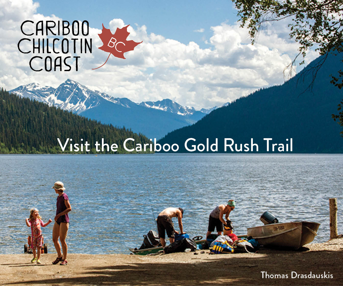
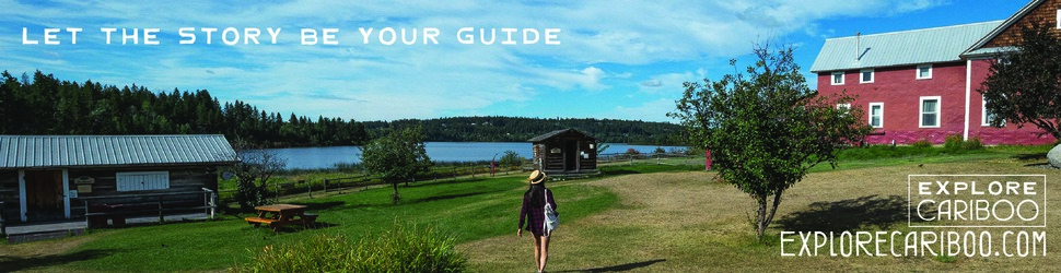
- Cariboo (14)
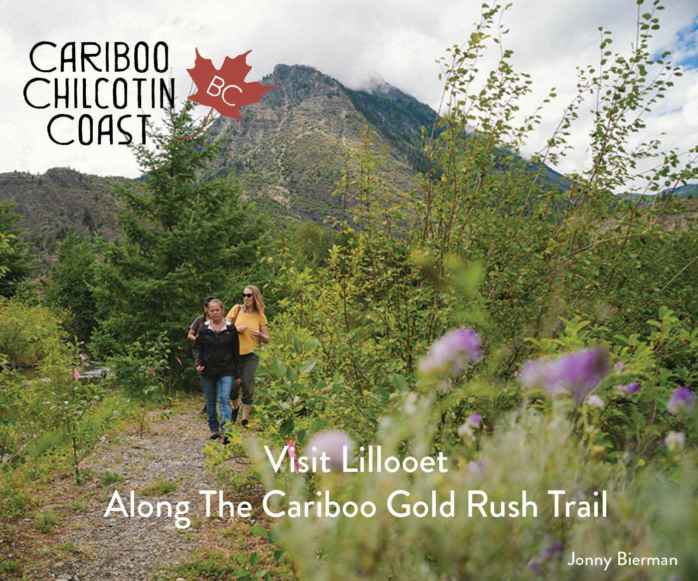
- Cariboo Chilcotin Coast (14)
- Skeena (23)
- Haida Gwaii/Queen Charlotte Islands (6)
- Smithers/Highway 37 (11)
- Terrace/Kitimat/Prince Rupert (7)
- Omineca (15)
- Mount Robson (3)
- Highways 16 27 97 (12)
- Peace (13)
- South Peace (6)
- North Peace (7)
- Heather-Dina Lakes
- Red Bluff
- 7 Sisters Park
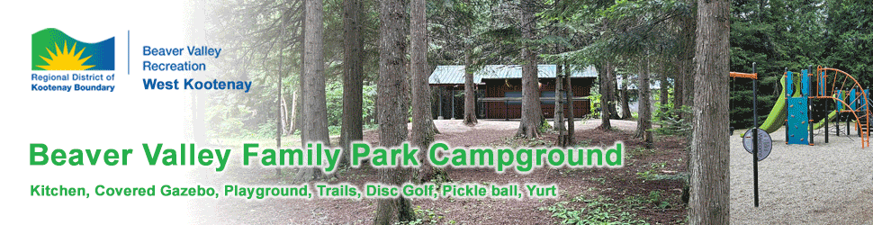
- Beaver Valley Family Park & Campground
- Woodbury Resort & Marina
- Kaslo Municipal Campground
- Nelson City Campground
- Pine Le Moray
- One Island Lake
- Okeover Arm
- Desolation Sound Marine
- Buckinghorse River Wayside
- Bijoux Falls
- Anderson Flats
- Emory Creek
- Beaver Creek
- Main Lake
- Boyle Point
- Ross Lake
- Babine Mountains
- Monkman
- Gwillim Lake
- Swan Lake
- Moberly Lake
- Kiskatinaw
- Charlie Lake
- Beatton
- Stone Mountain
- Muncho Lake
- Liard River Hot Springs
- Rearguard Falls
- Mount Robson
- Jackman Flats
- Whiskers Point
- West Lake
- Tudyah Lake
- Sowchea Bay
- Purden Lake
- Paarens Beach
- Eskers
- Crooked River
- Carp Lake
- Beaumont
- Pure Lake
- Naikoon – Tow Hill/Taaw Tidaaw
- Naikoon – Tlell River / Pesuta Shipwreck Trail
- Naikoon – Mayer Lake
- Naikoon – Misty Meadows Campground
- Naikoon – Agate Beach Campground
- Tyhee Lake
- Tweedsmuir (North)
- Seeley Lake
- Meziadin Lake
- Kinaskan Lake
- Driftwood Canyon
- Tä Ch’ilā (Boya Lake)
- Prudhomme Lake
- Anhluut’ukwsim Laxmihl Angwinga’asanskwhl Nisga’a (Nisga’a Memorial Lava Bed Park)
- Lakelse Lake
- Kleanza Creek
- Exchamsiks River
- Diana Lake
- Tweedsmuir (South)
- Ts’il-os
- Ten Mile Lake
- Puntchesakut Lake
- Pinnacles
- Lac La Hache
- Horsefly Lake
- Green Lake
- Downing
- Chasm
- Bull Canyon
- Bridge Lake
- Big Bar Lake
- Bowron Lake
- Walloper Lake
- Tunkwa
- Steelhead
- Roche Lake
- Paul Lake
- McConnell Lake
- Lac Le Jeune
- White Lake
- Silver Beach
- Shuswap Lake Marine
- Shuswap Lake
- Tsútswecw (Roderick Haig-Brown)
- Niskonlith Lake
- Herald
- Adams Lake (Bush Creek Site)
- Skihist
- Monck
- Marble Canyon
- Kentucky Alleyne
- Juniper Beach
- Goldpan
- Alexandra Bridge
- North Thompson River
- Wells Gray – Spahats Creek
- Wells Gray – Pyramid
- Wells Gray – Murtle Lake
- Wells Gray – Mahood Lake
- Wells Gray – Helmcken Falls
- Wells Gray – Clearwater Lake/Falls Creek
- Wells Gray – Clearwater Lake/Azure lake
- Yahk
- Norbury Lake
- Moyie Lake
- Lockhart Beach
- Kikomun Creek
- Jimsmith Lake
- Whiteswan Lake
- Wasa Lake
- Premier Lake
- Mount Fernie
- Mount Assiniboine
- James Chabot
- Dry Gulch
- Summit Lake
- Rosebery
- McDonald Creek
- Martha Creek
- Blanket Creek
- Arrow Lakes (Shelter Bay)
- Syringa
- Kootenay Lake (Davis Creek and Lost Lodge)
- Kokanee Creek
- Grohman Narrows
- Cody Caves
- Champion Lakes
- Nancy Greene
- Kettle River
- Johnstone Creek
- Jewel Lake
- Gladstone/Texas Creek
- Conkle Lake
- Christina Lake
- Boundary Creek
- Vaseux Lake
- Sun-Oka Beach
- Okanagan Mountain
- Okanagan Lake
- sx̌ʷəx̌ʷnitkʷ (Okanagan Falls)
- Kickininee
- Inkaneep
- sẁiẁs (Haynes Point)
- Bear Creek
- Stemwinder
- Otter Lake
- E.C. Manning
- Cathedral
- Bromley Rock
- Allison Lake
- Mara
- Mabel Lake
- Kekuli Bay
- Kalamalka Lake
- Fintry
- Ellison
- Skagit Valley
- Silver Lake
- Sasquatch
- Cultus Lake
- Coquihalla Canyon
- Sx̱ótsaqel/Chilliwack Lake
- Bridal Veil Falls
- Peace Arch (Canadian Side)
- Rolley Lake
- Golden Ears
- Stawamus Chief
- Shannon Falls
- Porteau Cove
- Plumper Cove Marine
- Nairn Falls
- Murrin
- Mount Seymour
- Joffre Lakes
- Halkett Bay
- Garibaldi
- Duffey Lake
- Cypress
- Brandywine Falls
- Birkenhead Lake
- Alice Lake
- Smuggler Cove Marine
- Skookumchuck Narrows
- Sargeant Bay
- Saltery Bay
- Roberts Creek
- Porpoise Bay
- Inland Lake
- Wallace Island Marine
- Wakes Cove – Valdes Island
- Ruckle – Salt Spring Island
- Pirates Cove Marine – De Courcy Island
- Mount Maxwell – Salt Spring Island
- Montague Harbour Marine Park – Galiano Island
- Discovery Island Marine
- Dionisio Point – Galiano Island
- Burgoyne Bay – Salt Spring Island
- Bodega Ridge – Galiano Island
- Bellhouse – Galiano Island
- West Shawnigan Lake
- Sooke Potholes
- Koksilah River
- Juan de Fuca
- ȽÁU,WELṈEW̱ / John Dean
- Gowlland Tod
- Gordon Bay
- Goldstream
- French Beach
- Cowichan River
- Carmanah Walbran
- Bamberton
- Taylor Arm
- Stamp River
- Squitty Bay – Lasqueti Island
- Sproat Lake
- Spider Lake
- Rosewall Creek
- Roberts Memorial
- Rathtrevor Beach
- Petroglyph
- Saysutshun/Newcastle Island Marine – Newcastle Island
- Morden Colliery Historic
- Nism̓aakqin (formerly Maquinna Marine-Hot Springs Cove)
- MacMillan (Cathedral Grove)
- Little Qualicum Falls
- Kennedy Lake
- Jedediah Island Marine – Jedediah Island
- Horne Lake Caves
- Hemer
- Gabriola Sands – Gabriola Island
- Englishman River Falls
- Tribune Bay – Hornby Island
- Strathcona
- Smelt Bay – Cortes Island
- Schoen Lake
- Sandy Island Marine (Jáji7em and Kw’ulh Marine) – Denman Island
- Rebecca Spit Marine – Quadra Island
- Morton Lake
- Miracle Beach
- Mansons Landing – Cortes Island
- Loveland Bay
- Helliwell – Hornby Island
- Fillongley – Denman Island
- Elk Falls
- Cape Scott
- Broughton Archipelago Marine
- Anchorage
- Beach
- Boat launch
- Cabins, yurts or lodges for public use
- Campfires allowed
- Cash Only
- Credit cards accepted
- Electricity
- Group campsites
- Interpretive programs
- No dogs allowed
- Off-leash dog area
- Overflow camping: Overflow camping
- Pets must be on leash
- Picnic sites
- Pit Toilets
- Playground
- Reservations available (through BC Parks)
- Sani-station/dump facilities
- Showers
- Toilets
- Vehicle accessible camping facilities
- Water
- Wheelchair accessible
- Wilderness/backcountry/walk-in camping
- Bicycling
- Canoeing/kayaking
- Caving/spelunking
- Fishing
- Hiking
- Horseback riding
- Hunting
- Paddle boarding
- Rock climbing
- Scuba diving/snorkeling
- Swimming
- Waterskiing
- Wildlife viewing
- Windsurfing
- Winter recreation